Education & Open Data
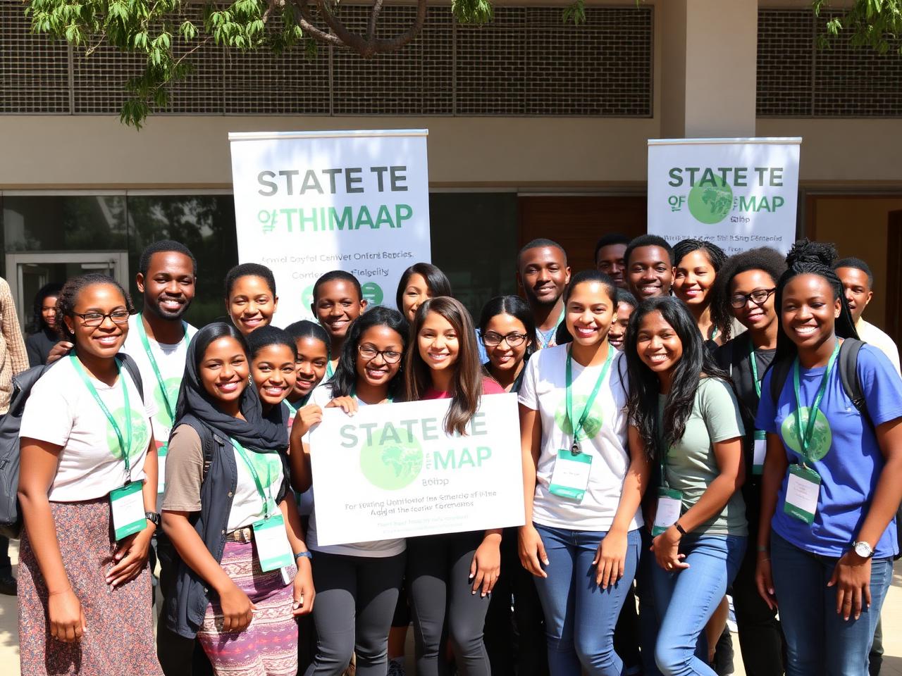
Space & GIS Day Awareness
Public events and campus activations celebrating geospatial science, satellite data, and the power of open mapping.
Featured initiative
Activities & impact
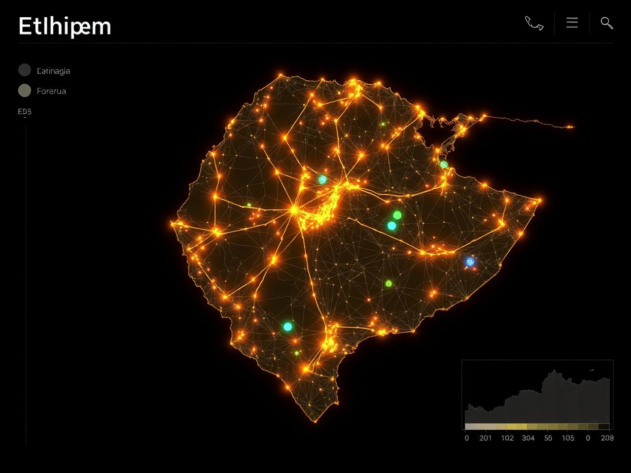
OSM Ethiopia's work spans humanitarian response, mobility, food security, climate, civic infrastructure, education, and technical services. Every activity is community-led and openly shared.
Areas of impact
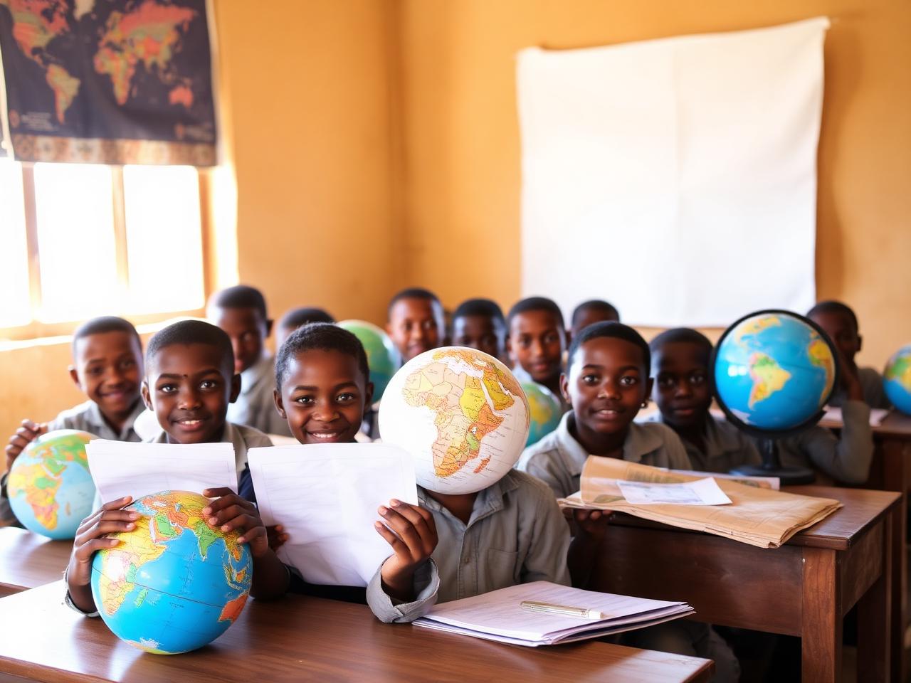
Education & Open Data
Public events and campus activations celebrating geospatial science, satellite data, and the power of open mapping.
Climate Resilience
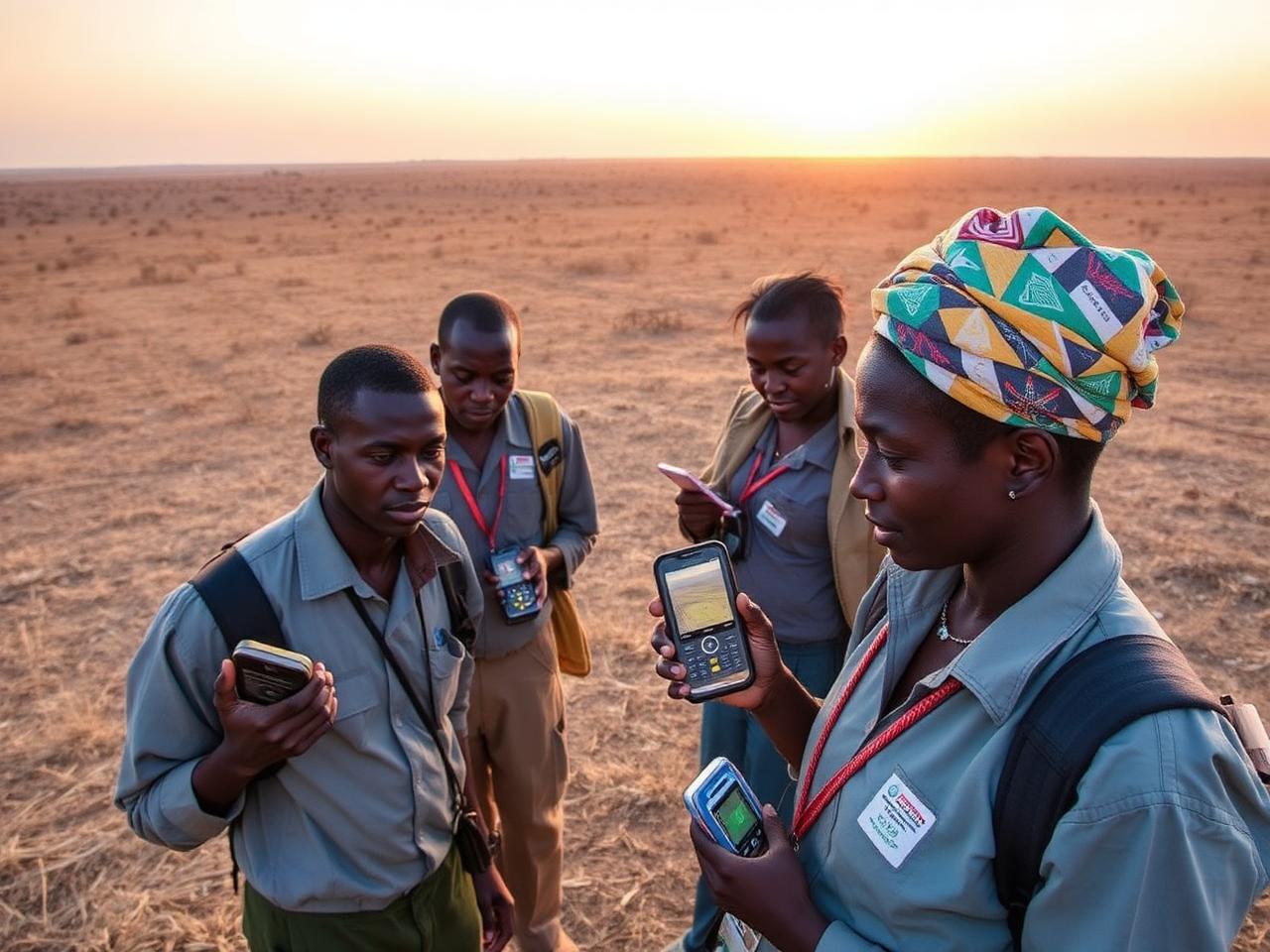
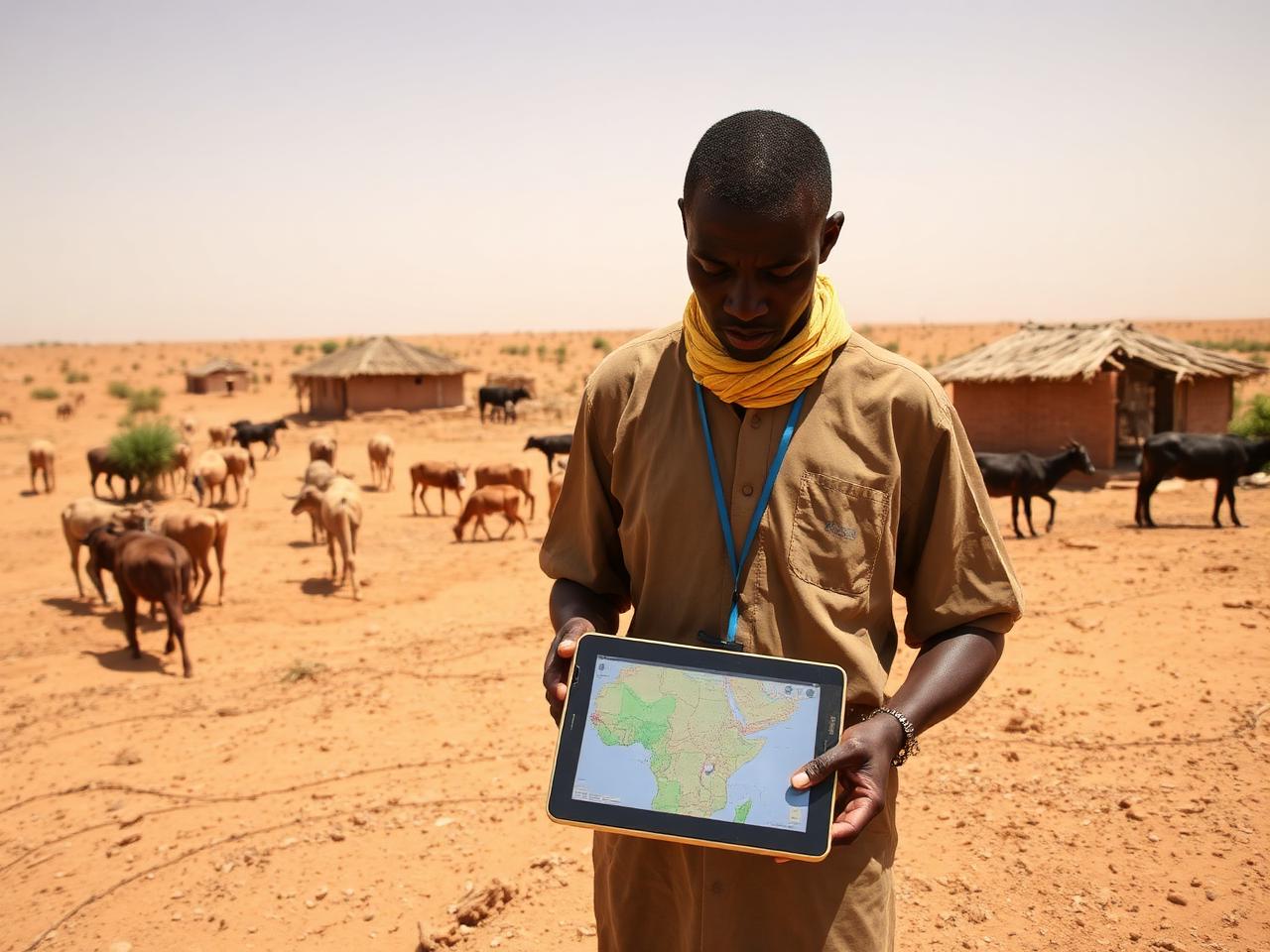
Field and remote mapping of water points, settlements, and pasture conditions to support drought response in southern Ethiopia.
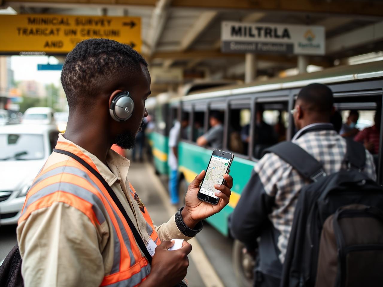
Mobility
Mapping bus and minibus routes with the Ministry of Transport, IceAddis, YouthMappers, and AddisMapTransit.
Food Security
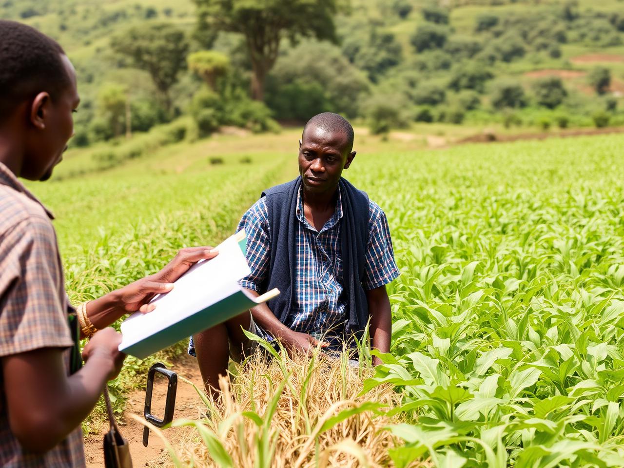
Workshops and community mapping to strengthen food security data, markets, and livelihoods in the Omo Zone.
Anticipatory Action
Flood preparedness and anticipatory action mapping to help communities prepare for El Niño-driven shocks.
Peacebuilding
Mapping and community engagement supporting reconciliation, social cohesion, and inclusive recovery.
Civic Infrastructure
Supporting the Digital Addressing System (DAS) with data and methods in Bishoftu and Addis Ababa.
Education
Bringing open mapping into schools and youth groups to grow the next generation of Ethiopian mappers.
Capacity Building
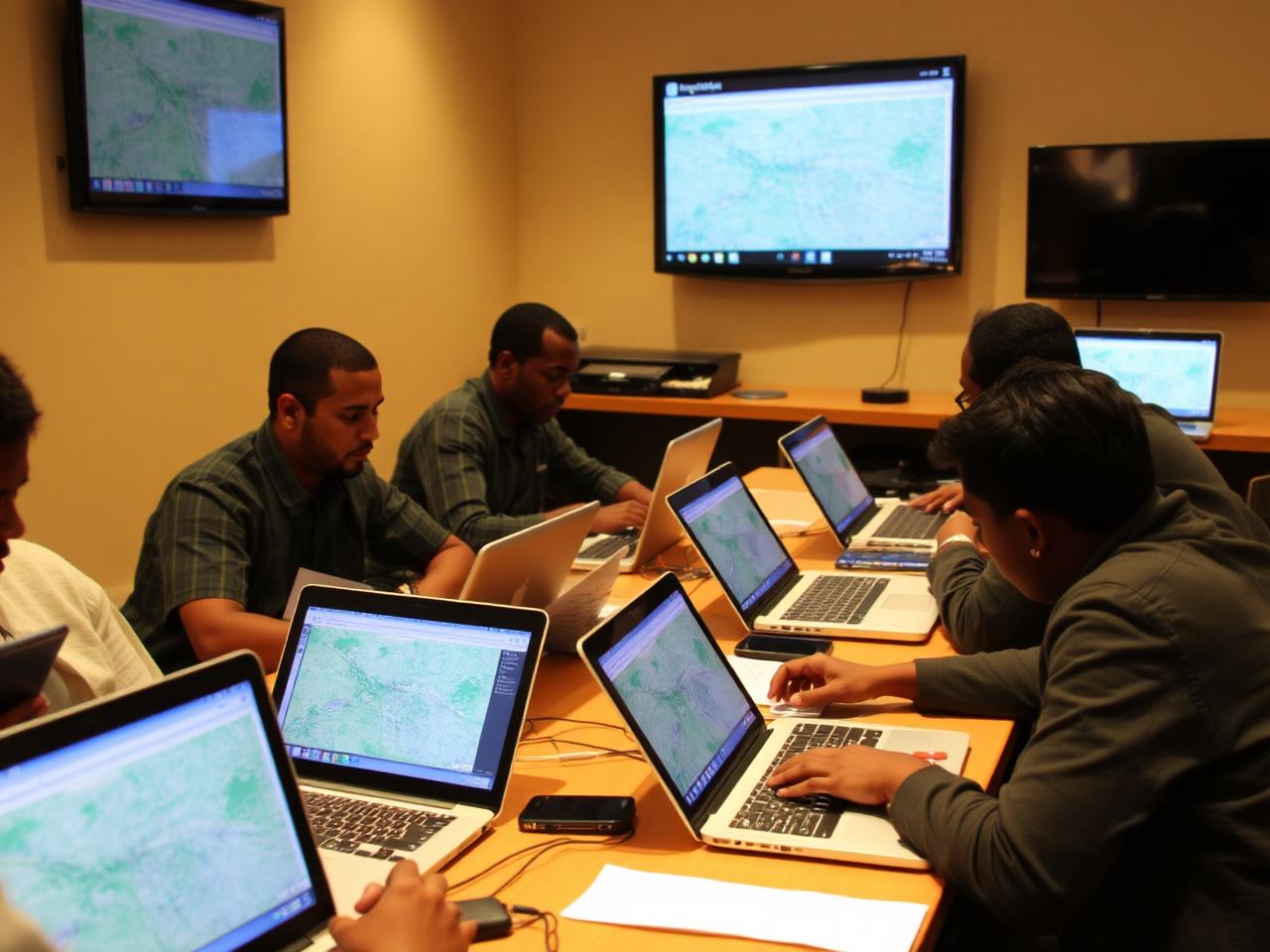
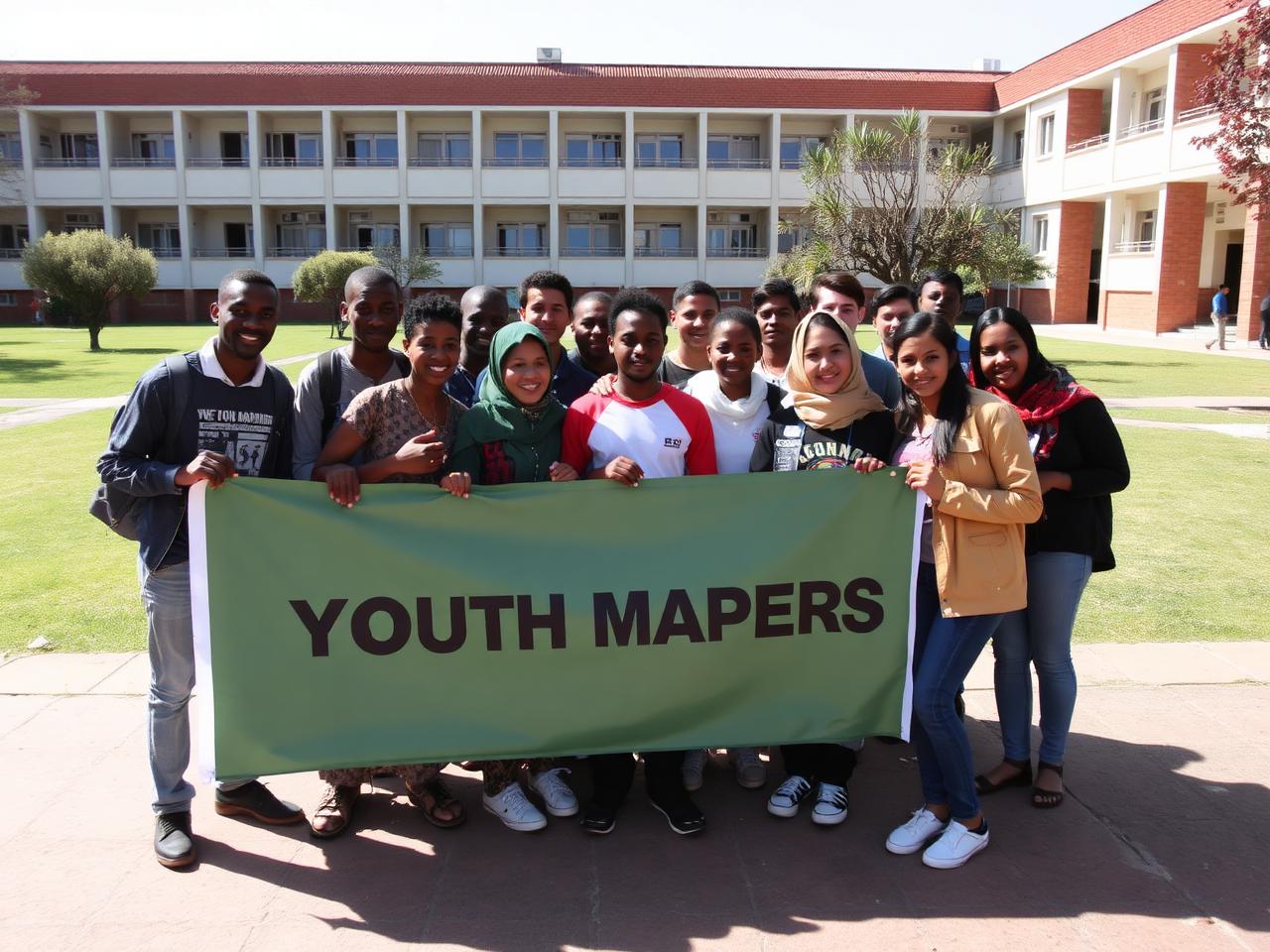
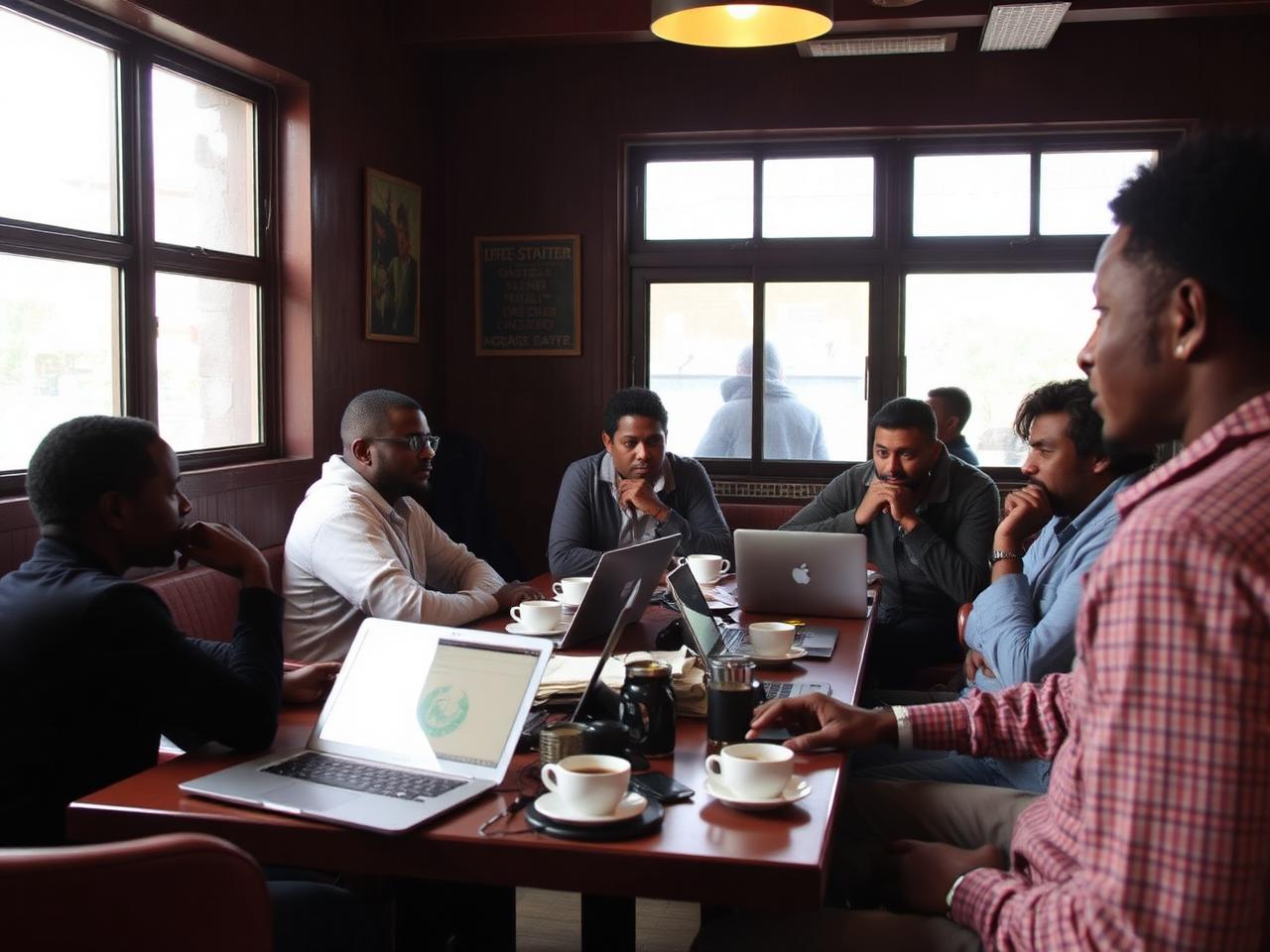
Partnering with universities and YouthMappers chapters across Ethiopia for training, mapathons, and research.
Community Mapping
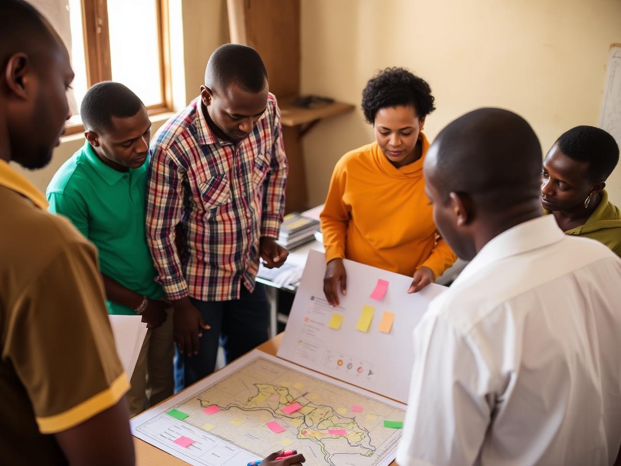
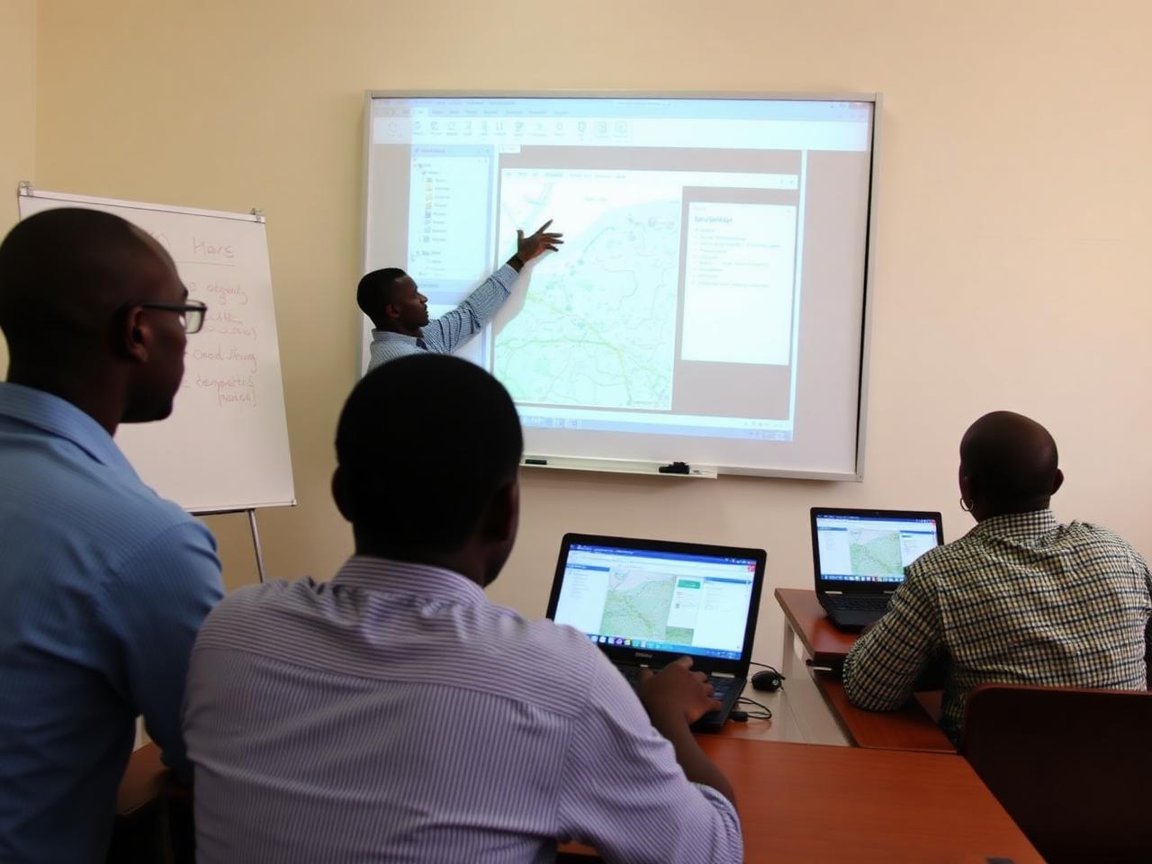
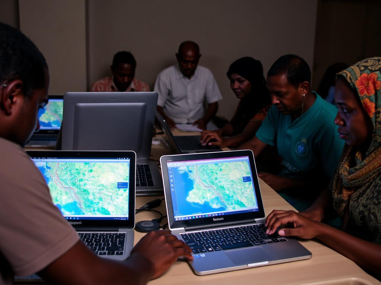
Hands-on workshops where communities co-produce the maps that represent their realities.
Global Collaboration
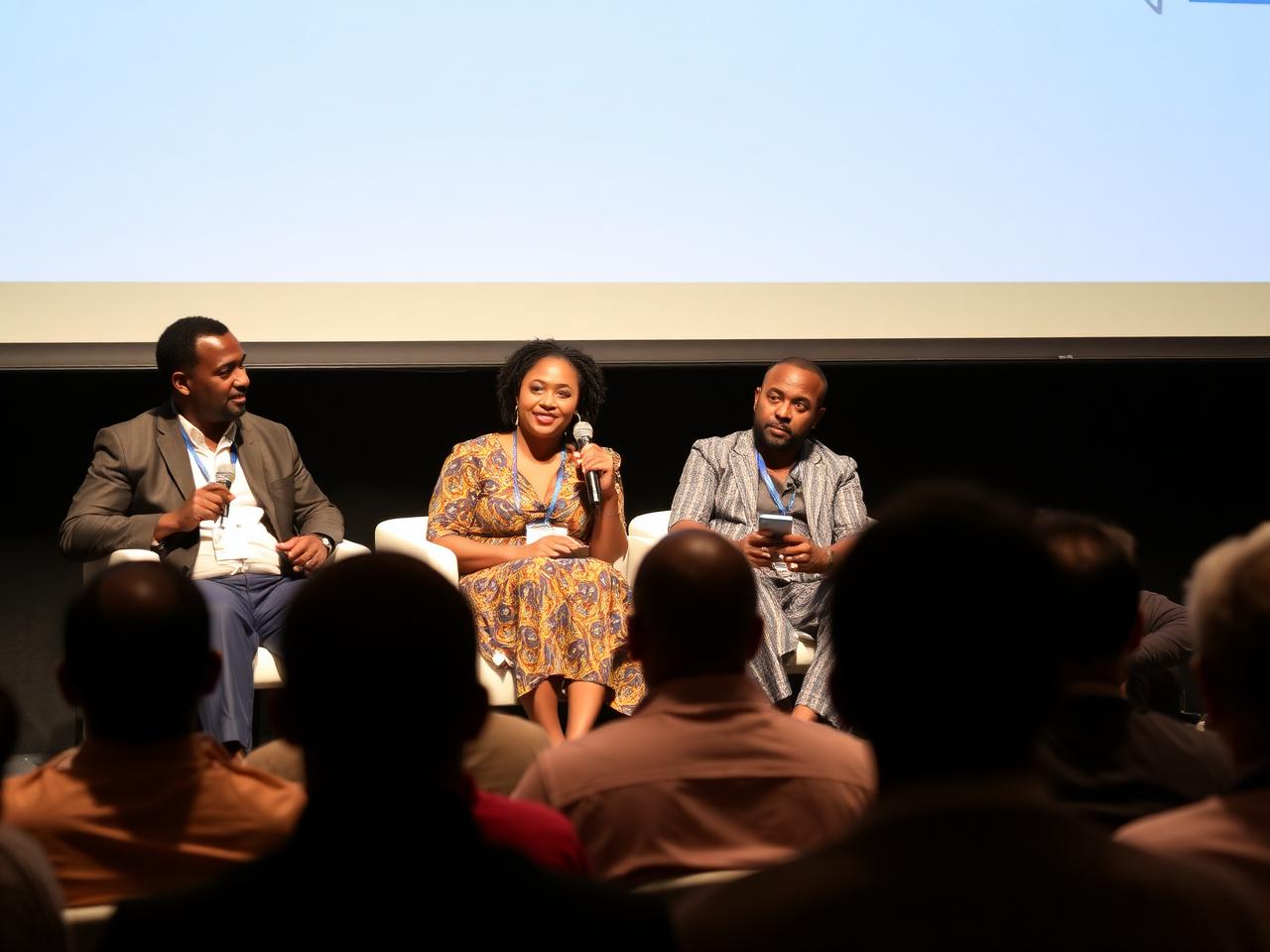
Bringing Ethiopia's mapping community to UN Maps, UN Data Forum, State of the Map Africa, and partner gatherings.
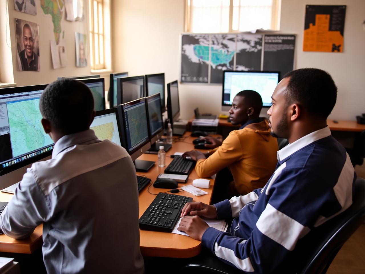
Technical Services
Custom map development, data pipelines, and API services for institutional and humanitarian partners.
Our journey
El Niño anticipatory action mapping; expanded transit mapping; State of the Map Ethiopia.
Borena drought mapping; DAS support in Bishoftu; international representation at UN Maps.
Omo Zone food security workshops; participatory GIS rollout; new university chapters.
Public transport mapping with the Ministry of Transport, IceAddis, and AddisMapTransit.
Founding mapathons, school outreach, and the first national Space & GIS Day campaign.
Community gallery
Browse photos from mapathons, workshops, field missions, and community gatherings. Filter by event, region, or year.
Whether you're a university, NGO, agency, or local government, we can co-design mapping programs that meet your needs and grow open data for Ethiopia.