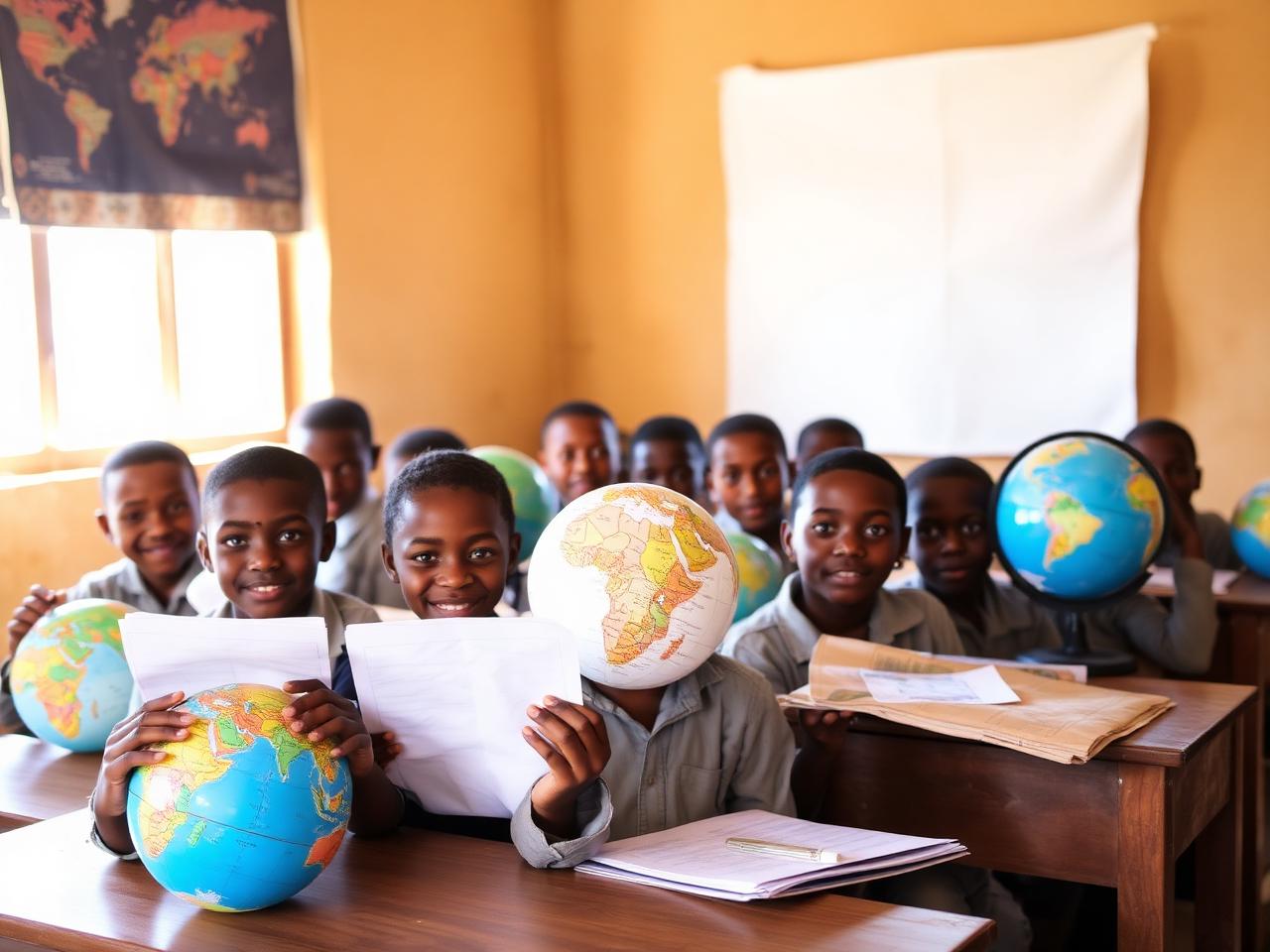
Education & Open Data
Space & GIS Day Awareness
Public events and campus activations celebrating geospatial science, satellite data, and the power of open mapping.
Open projectLive · open data · open community
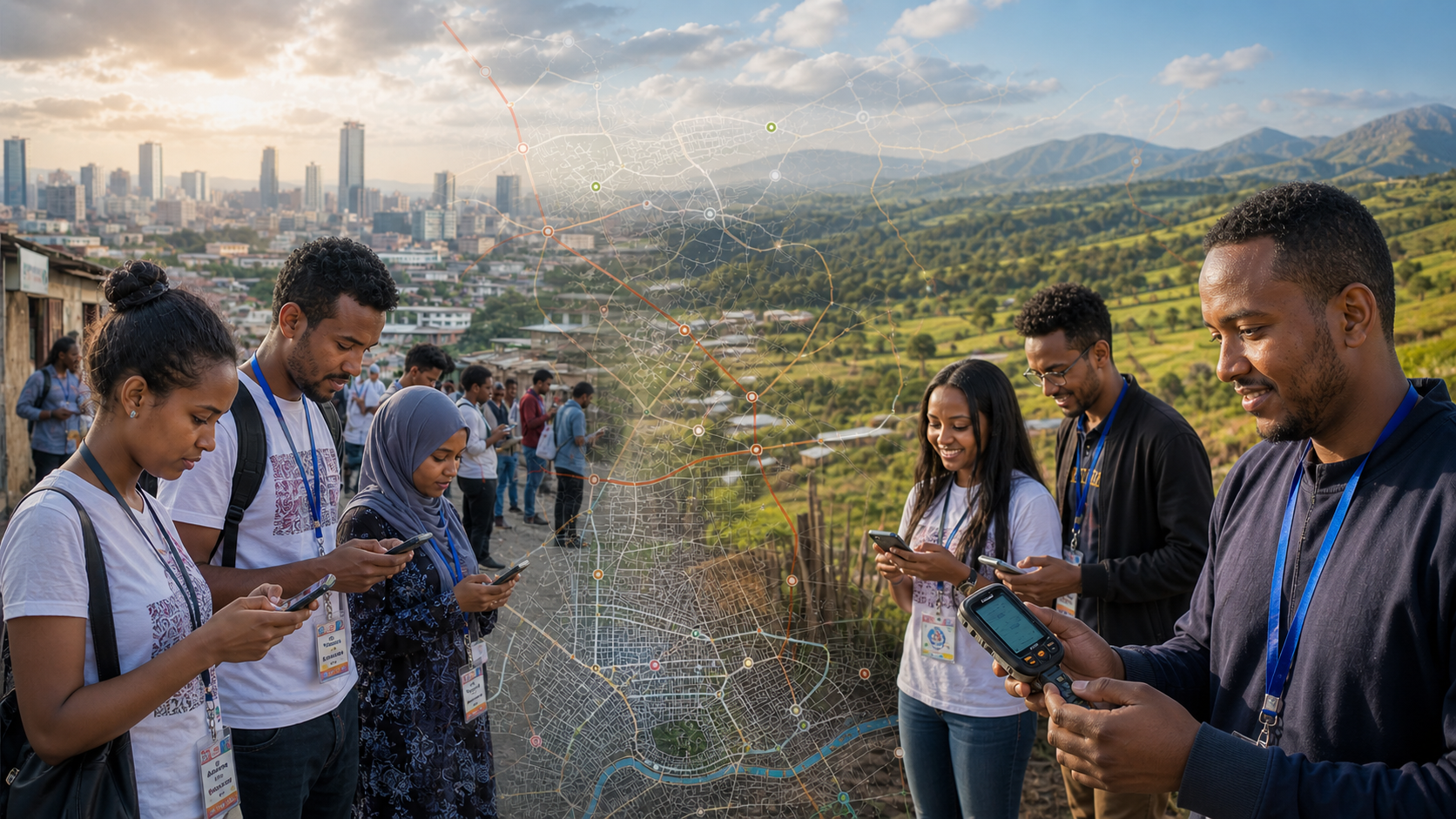
A national open-data movement powering humanitarian action, mobility, and resilient communities — built by mappers, students, and partners across Ethiopia.
0+
Active mappers
0
Projects shipped
0+
Map edits
0
Cities covered
One platform, four surfaces
Everything is connected — community, data, projects, and events feed each other.
Mappers, students, volunteers, and chapters across the country.
OpenOpen, downloadable, API-ready geospatial datasets for Ethiopia.
OpenHumanitarian, mobility, climate, and civic mapping in the field.
OpenMapathons, workshops, field missions, and the State of the Map.
OpenLive activity
A real-time pulse of edits, verifications, datasets, and people joining the OSM Ethiopia community.
1,248 building footprints added
Borena Zone
New water point verified
Yabelo · @hawi
12 mappers joined mapathon
AAU campus
Transit dataset v3 published
AddisMapTransit
Field mission scheduled
Omo Zone · Jun 4
Projects
From drought response to public transport — open mapping with real impact.
Public events and campus activations celebrating geospatial science, satellite data, and the power of open mapping.
Open project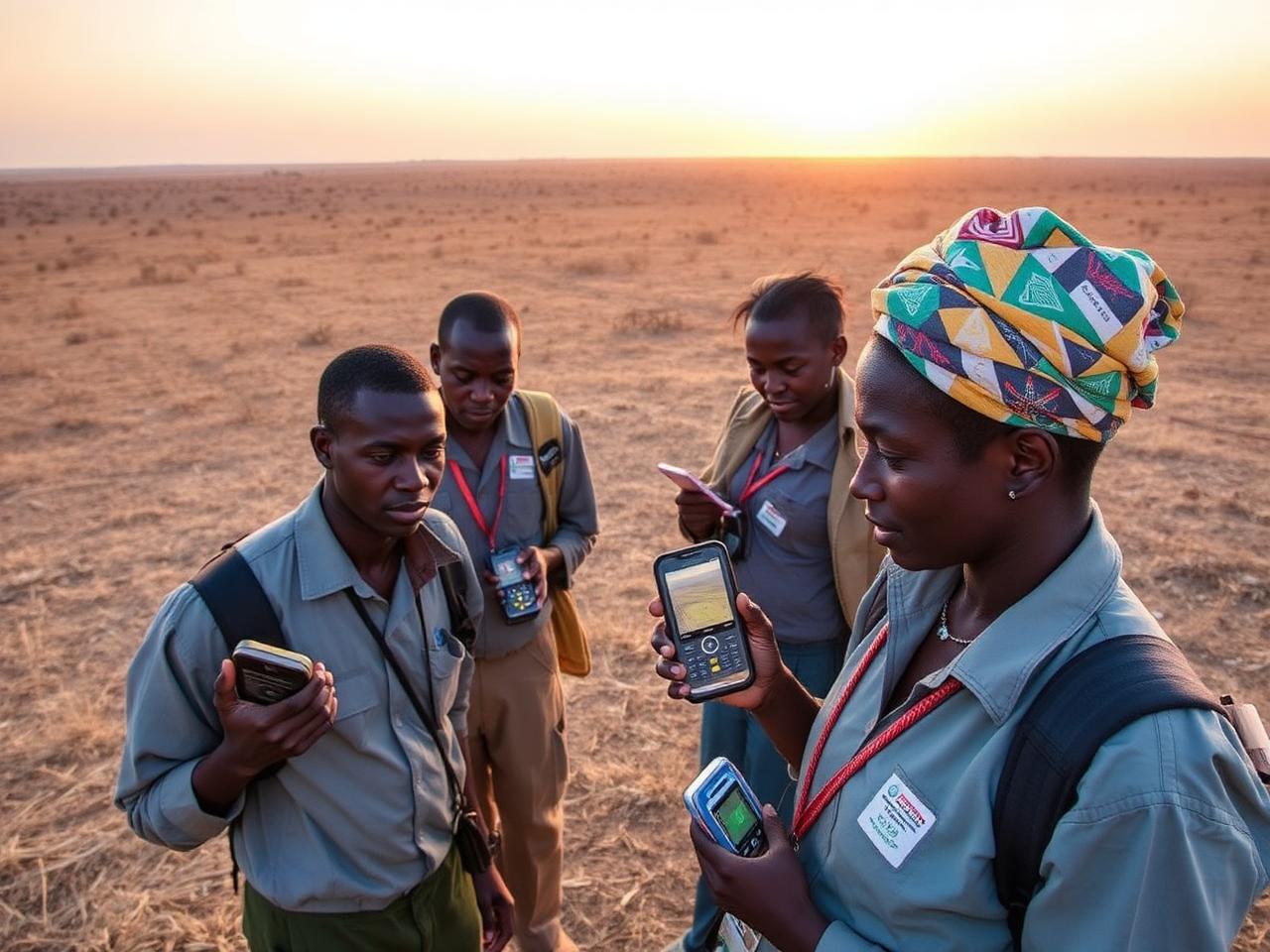
Field and remote mapping of water points, settlements, and pasture conditions to support drought response in southern Ethiopia.
Open project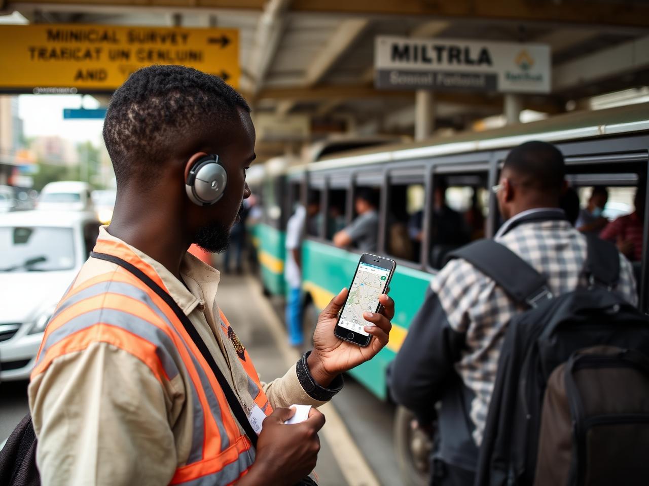
Mapping bus and minibus routes with the Ministry of Transport, IceAddis, YouthMappers, and AddisMapTransit.
Open project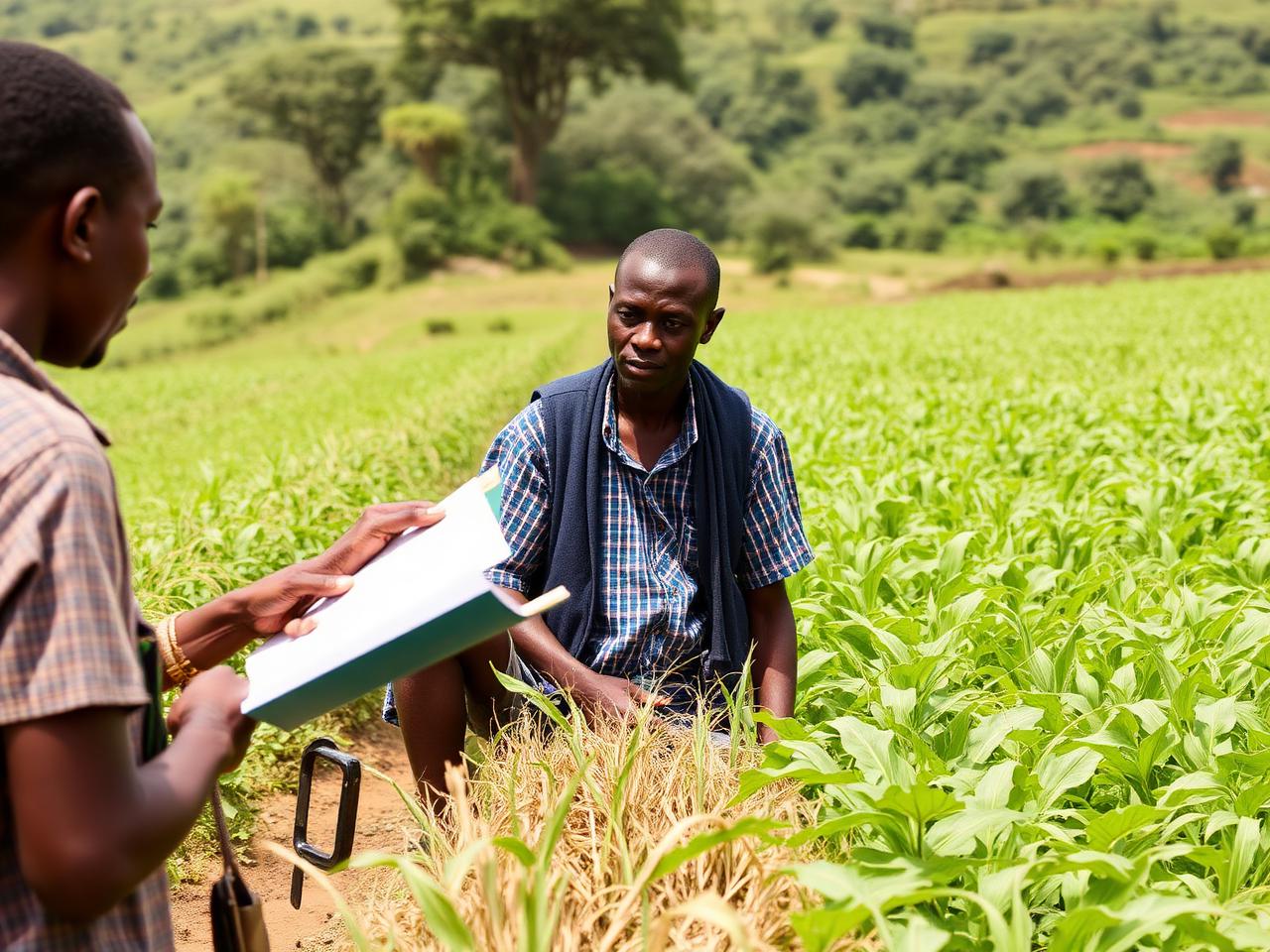
Workshops and community mapping to strengthen food security data, markets, and livelihoods in the Omo Zone.
Open project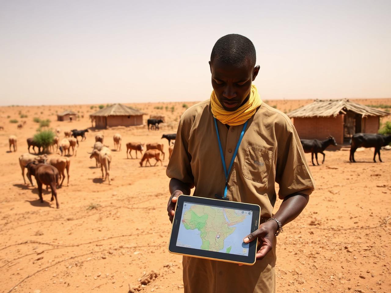
Flood preparedness and anticipatory action mapping to help communities prepare for El Niño-driven shocks.
Open project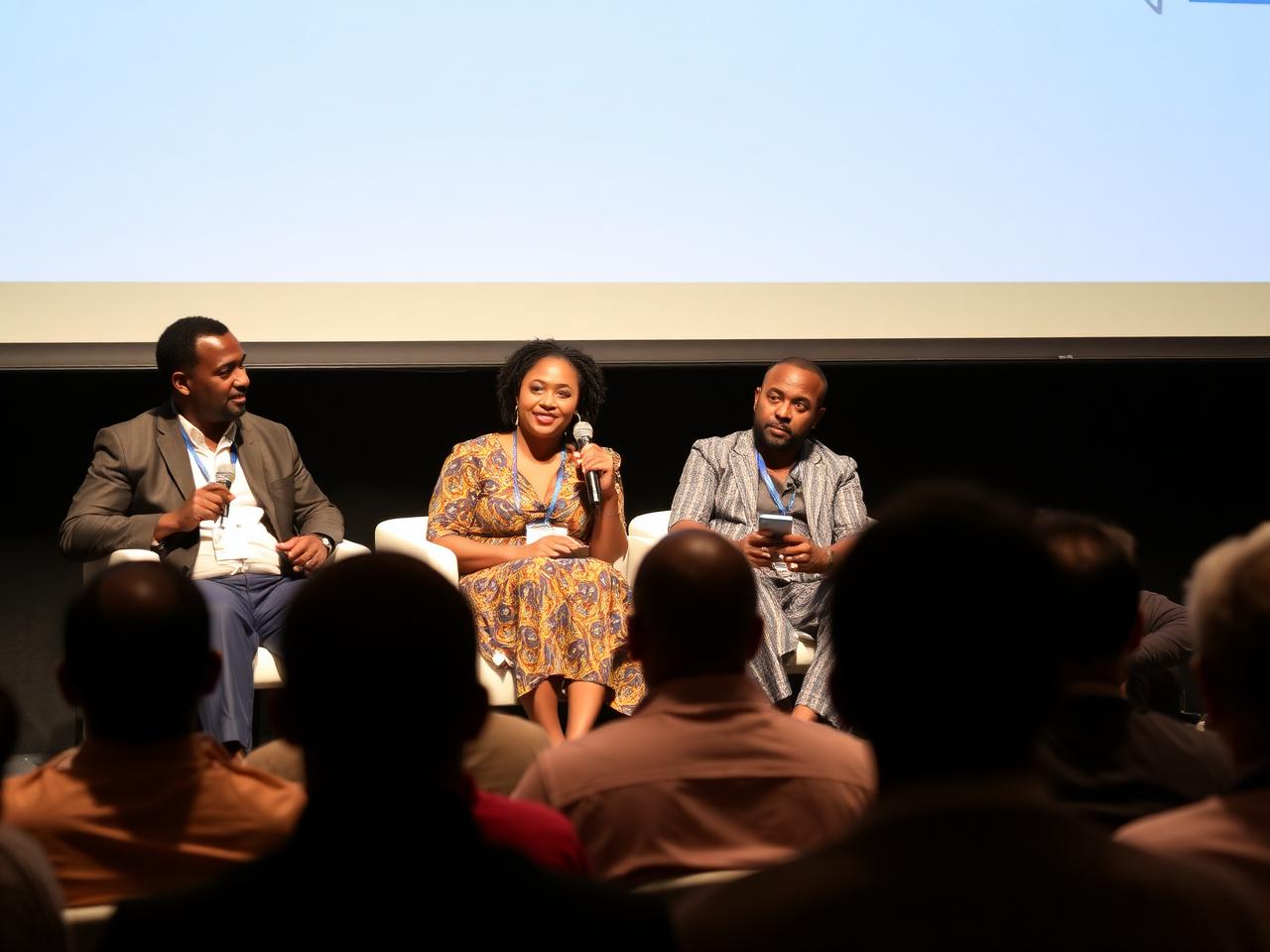
Mapping and community engagement supporting reconciliation, social cohesion, and inclusive recovery.
Open project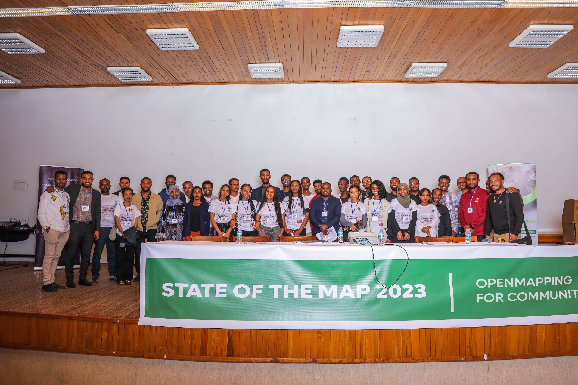
OpenMapping for Communities
Mappers, students & partners from across Ethiopia
The community
OSM Ethiopia is a national network of mappers, students, volunteers, and institutions — meeting in the field, on campus, and at our annual State of the Map gathering.
What's next
Join a mapathon, training, or field mission near you.
A one-day mapathon focused on improving public transport coverage in Addis Ababa.
Community field mapping of water points and pastoral routes for drought response.
Hands-on QGIS and OSM training for university students and local NGOs.
Introducing high-school students to OpenStreetMap, GIS, and mapping for community impact.
Field notes
Project recaps, training notes, mapping stories, and partner highlights.
 Humanitarian Mapping
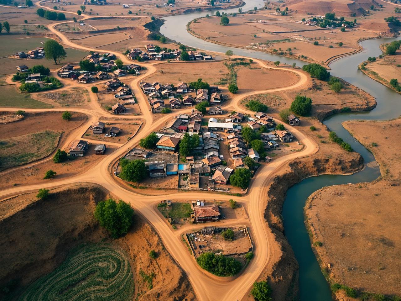
How OSM Ethiopia volunteers and Borena communities used open mapping to identify and verify water access during the drought.
 Transport
Inside the collaboration mapping minibus and bus routes to make public transport in Addis more legible to riders.
 Education
A recap of campus mapathons, workshops, and field exercises across nine Ethiopian universities.
Trusted by ministries, universities, NGOs, and global partners
Voices
OSM Ethiopia turned mapping into something my whole community could do — and now we can plan with our own data.
Hawi A.
Community organizer, Borena
Joining OSM Ethiopia connected me to mentors, mapathons, and real projects that shaped my career in geospatial.
Daniel T.
GIS student, Addis Ababa University
Their participatory approach is exactly what humanitarian programs need — local, open, and rigorous.
M. Kebede
Program lead, partner NGO
Ready to build the map?
Join 3,500+ mappers, students, and partners building the open geospatial backbone of the country.